I woke up to a sunny morning. Late again — at 10:00 instead of 8:00. Alex was still asleep. The very first thing I did was to turn on my broken camera and — hooray, no clicking sounds… With cautious anticipation, not letting my hopes rise too high, I pointed the camera in the direction of sleeping Alex and pressed the button. Unbelievably, my camera started to work again!!! I’m not going to post the “sleeping Alex” picture here to keep this post rated PG but believe me, that was my favorite picture for the next couple of hours. I guess Alex was right and as soon as the camera’s insides dried out it started to work again.
With a much improved mood, I woke up Alex without even blaming him for oversleeping. We had a driving-intensive day ahead — we needed to cover about 360 km (224 miles) through the east of Iceland to get to lake Myvatn in the north. We were late for breakfast at the guesthouse (again) but it turned out that their coffee machine could make very good cappuccino (free for guests).
Our first stop was again at Stokksnes. Last night we didn’t get a chance to see everything, so we decided we needed to make a short stop there. We found a single farm located in the area, a cafe which was closed at the time of our visit, and a fake Viking village, formerly a movie set, which was also closed.


The next stop on our list was the Almannaskarð pass, an old section of the ring road that is now closed. The pass was considered the most dangerous part of the Ring Road with a 17% gradient slope, so in 2005 a tunnel was build to replace the pass. There is still an overlook left which is accessible from the west side of the tunnel. Unfortunately, the clouds covered the pass and we couldn’t see much. It did look like the steepest part of the pass (now closed) was on the other side of the hill, not the one we used to drive up to the overlook.


The further east we went the less tourists we saw. There were some, of course, but after the Jökulsárlón glacier lagoon, the number of tourists dropped by an order of magnitude. We were enjoying the ride: the weather was nice and the East fjords were magnificent. Sometimes we stopped at a view point or just pulled over to take photos.


Around 14:30 we arrived at Djúpivogur, a small town with of about 350 people. Near a gas station there was a very pretty small church that I went to photograph while Alex took care of filling the car with gas. The church was just decorated with black and orange fringes that any American would associate with Halloween, but I guess those were the decorations for the Icelandic National Day that would be celebrated the next day on June 17th.

The town was very small but had a nice cafe in a red building that shared the space with a museum. We had two cups of spicy fish soup, two coffees and a piece of apple cake for $40.


Our journey took us through the stunning Berufjord bay to our first real Iceland road test — an F-road. F-roads in Iceland are designated for 4-wheel drive vehicles and they are unpaved and in many cases may be very narrow and have pot holes. We planned on taking Route 939 as a shortcut which was to save us at least an hour of driving. The road ended up being easier than we anticipated. Sometimes we had to pull over a little to let the vehicles coming from opposite direction pass, but other than that the road was OK.


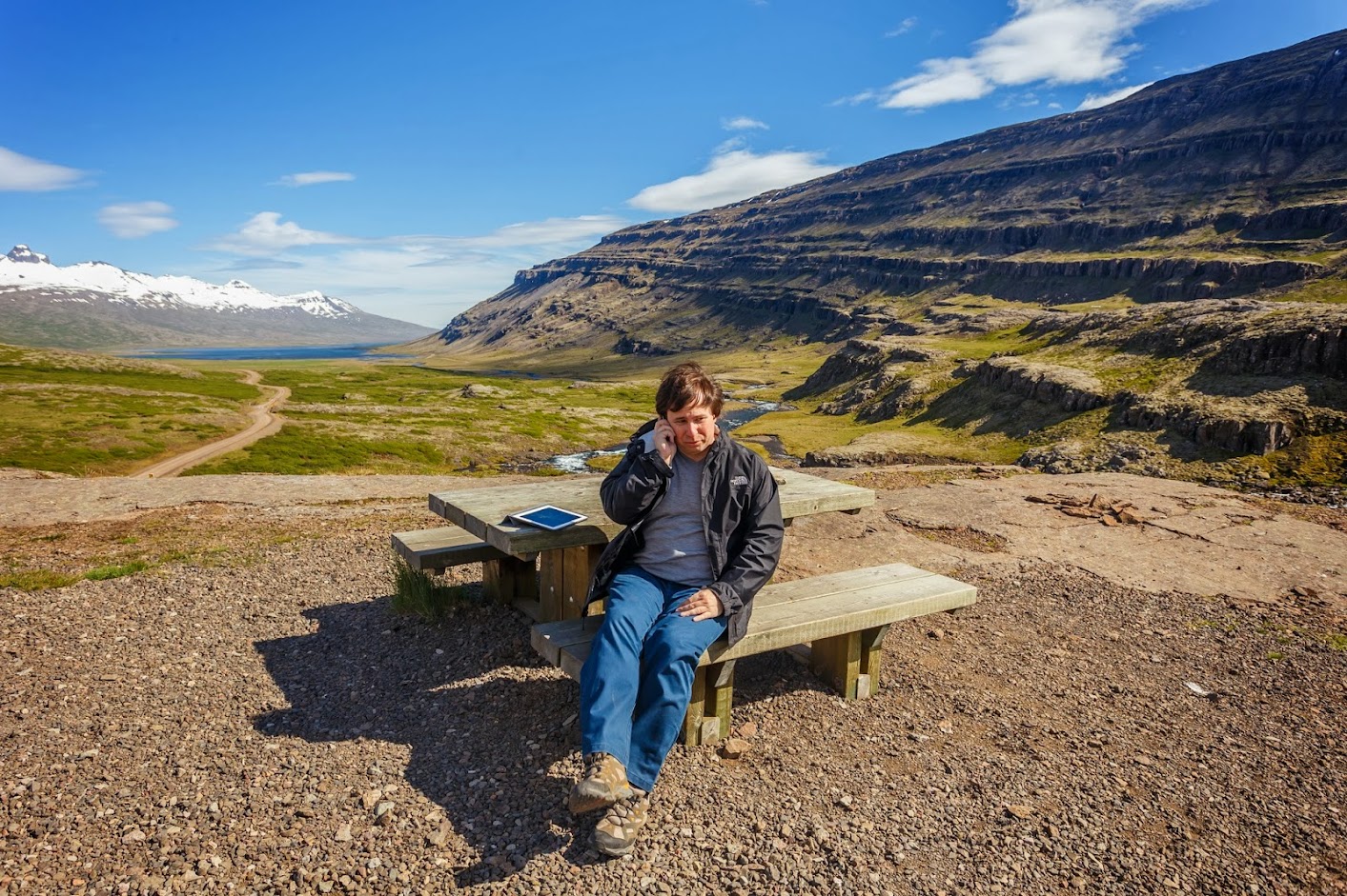
On our way we saw a small picnic area next to a waterfall, so we stopped for a tea break. Our kids called us from Philadelphia, and despite the fact that we were in the middle of uninhabited land (or at least far enough away from everyone to make us think so), the signal was good.


In no time, we were back on the main road. We passed a bigger town called Egilsstaðir, where we only filled our car with gas and shopped at a grocery store. We wanted to arrive at our guesthouse in Myvatn as soon as possible so we would have some time left for exploring the area. Still, we couldn’t stop pulling over for photos. Once we even had a little fight when Alex was insisting on hiking up to a waterfall that I thought looked ugly (OK, not too ugly, it would have been a natural wonder in Pennsylvania). The waterfall was quite powerful, but I just got tired of Alex wanting to take a picture of every waterfall on our way (“another diamond”, as Venus says of Vulcan’s gifts in the “Baron Munchausen” movie). We ended up hiking up to the waterfall, and here are the photos, so judge for yourself.


Here are some more pictures from the Ring Road.


Somewhere close to the end of our trip that day, we saw a beautiful looking volcano, all covered in clouds. There was an overlook, so we stopped to admire the view. For a while we thought that mountain was the famous Askja volcano, but it turned out to be the Herðubreið volcano, which is a tuya, in other words, a flat-topped volcano where lava erupted underneath a glacier or an ice sheet.


Finally, at 20:30 we arrived at the Helluhraun 13 guesthouse located in a very small village of Reykjahlið (“Smoky Hill”). The accommodation near lake Myvatn is limited because there are no towns in about an 80 km radius. All major travel guides recommended Helluhraun 13 as the best guesthouse in the area so we booked a room well in advance (6 months before the trip). The guesthouse was basically a one-story house with three bedrooms and a shared bathroom, but the bedroom was large by Icelandic standards. We didn’t spend much time in the house anyway.


After the long drive we wanted to relax and decided to visit Myvatn Nature Baths. The power plant nearby basically drilled a hole in the ground and got this blue water that is initially 130 degrees Celsius (that’s 266 degrees Fahrenheit for the American readers). Water in the baths varies from 35C to 40C (95-104F) and is very soft and silky. There are no added chemicals because the mineral composition of the water does not support growth of bacteria and all people entering the baths are required to shower without swimsuits before getting into the pool. The only negative is that the water has a bit of a rotten egg smell, but so does all hot water in the region. All cold tap water in Iceland is excellent, basically it’s all spring water without added chlorine or other “ingredients” to enhance taste.
We took our small Sony action camera in waterproof casing with us to the pool and took the pictures below.


At around 23:00 we left the baths and went to a nearby geothermal area to take a couple of shots under the setting sun.


Our last stop for the day was actually a hike up to a crater of the Hverfjall volcano not far from our guesthouse. We chose an easy route to the top (from the north end) which turned out to be not so easy. The path was short and started almost flat but got steeper and steeper and steeper until we had to stop and catch our breaths about every 10-20 steps or so. It took us about 20 minutes, and we were in a rush to get to the top before the sunset at 00:45.


Here is the map of the places we visited on Day 4.
[mapsmarker layer=”4″]
19 Reasons to pack your bags to Iceland NOW - PickYourTrail Blog
[…] Image Credit : lifeandall […]